Fuego's eruption history
Fuego's eruptions from colonial records to November 2026: 1974, the eruption running since 2002, the 3 June 2018 disaster, 2025 and the August 2026 paroxysm.
Fuego has been in eruption without a break since 4 January 2002, according to the Smithsonian Global Volcanism Program, and it was still throwing out ash and glowing rock several times an hour in INSIVUMEH’s bulletin of 12 November 2026. Its written record runs back to the Spanish colonial period, and its deadliest modern eruption came on 3 June 2018, when pyroclastic flows buried the village of San Miguel Los Lotes: CONRED’s figures, as reported on 5 August 2026, count 202 people dead and at least 229 still missing.
The Kaqchikel name for the volcano, Chi Q’aq’, means roughly “where the fire is”. The history below explains why the name fits, why authorities now close access so quickly, and what the record means for anyone who comes to watch it.
Check Availability
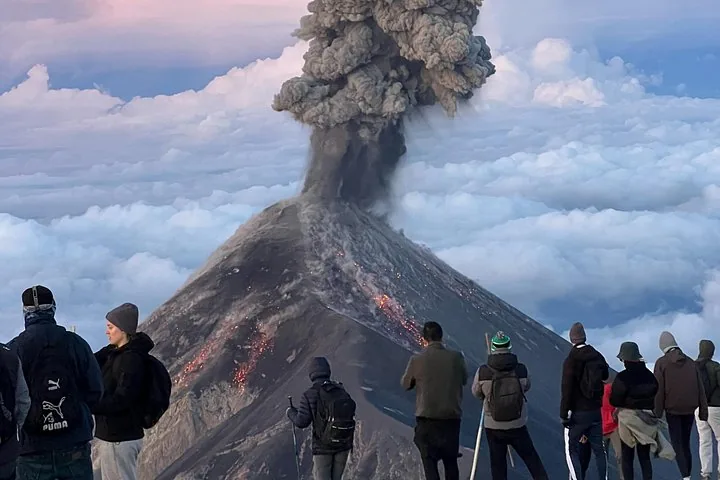
Overnight Adventure Hike Acatenango Volcano
- 4.8/5 (510+ reviews)
- 2 days, 1 night
- Operated by Brothers Expeditions
Includes Guided two-day climb with a night camping on the volcano · Sleeping bag · Sleeping mat
You'll choose your date and complete the booking on Viator.

Fuego’s eruptions on one timeline
The table lists the dated events with the source for each. Death tolls are given with the date of the count, because the official figures for 2018 rose for months and still differ between sources.
| Date | What happened | Source |
|---|---|---|
| From 1524 | Eruptions recorded from the first years of Spanish rule | Infobae, 5 Aug 2026 |
| 27-30 Aug 1717 | Strong eruption, shortly before the San Miguel earthquake damaged Santiago de los Caballeros, today’s Antigua | Wikipedia |
| 10-23 Oct 1974 | Large explosive eruption; pyroclastic flows stripped the slopes and crops were lost around the cone | Wikipedia; Infobae |
| 21 May 1999 | Start of an eruptive period that GVP treats as separate from today’s | Wikipedia; Smithsonian GVP |
| 4 Jan 2002 | Start of the eruption that continues today | Smithsonian GVP |
| 3 Jun 2018 | Pyroclastic flows down the Las Lajas ravine bury San Miguel Los Lotes and part of El Rodeo; La Aurora airport closes for a day | Wikipedia (citing CONRED and AFP) |
| Early Jul 2018 | 113 dead and 332 missing | CONRED, via Emisoras Unidas |
| 10 Oct 2018 | 190 dead and 238 missing | CONRED, via Emisoras Unidas |
| 5 Aug 2026 | 202 dead and at least 229 missing from the 2018 eruption | Emisoras Unidas |
| 9-10 Mar 2025 | Paroxysm; communities evacuated, the RN-14 road closed, Acatenango ascents restricted | Emisoras Unidas; Bloomberg Línea |
| 4-6 Jun 2025 | About 30 hours of eruption; orange alert on 5 June; pyroclastic flows in four ravines | The Watchers; AGN |
| 3-5 Aug 2026 | About 50 hours of eruption with lava fountains up to about 300 m; about 1,700 people evacuated | INSIVUMEH; AP; Prensa Libre |
| 29 Oct-4 Nov 2026 | 1 to 9 explosions an hour, plumes up to 1.1 km above the summit | Smithsonian GVP weekly report |
| 12 Nov 2026 | 3 to 6 explosions an hour, ash to 4,500-5,000 m above sea level | INSIVUMEH daily bulletin |
Wikipedia dates the current activity to May 1999, while the Smithsonian GVP lists the eruption that continues today as starting on 4 January 2002 and runs the earlier period as a separate episode. Either way, anyone who has stood at an Acatenango camp in the last two decades has watched the same long eruption. Some aggregators list a string of large eruptions in the 1500s to 1900s; the safest summary is that Fuego has erupted dozens of times since records began, with the big events separated by years of smaller daily activity like today’s.
What “continuous eruption” means on Fuego
A continuous eruption does not mean lava pouring out all the time. On most days Fuego produces short explosive bursts, a few to several an hour, each one throwing out gas, ash and glowing rock. GVP rates the current eruption at 2 on the 0-to-8 Volcanic Explosivity Index (VEI), and lists it as both explosive and effusive.
INSIVUMEH’s daily bulletins describe that activity in a fixed vocabulary. Explosions per hour counts the bursts its seismic network records, not all of which you can see. Incandescent material is glowing rock thrown above the crater, measured in meters above the crater rim: 100 to 300 m in the bulletins from 31 October to 12 November 2026. Avalanches are hot rock sliding down the ravines on the flanks, such as Seca, Ceniza, El Jute and Las Lajas. Lahars are mud and boulder flows that run down those same ravines when rain mixes with loose ash, mostly from May to October.
Every so often the activity jumps to a paroxysm: hours of lava fountaining, tall ash columns and, at worst, pyroclastic flows. These are fast, hot clouds of gas and rock that race down the ravines, a different hazard from the small daily avalanches. The 2018 disaster and the evacuations of 2025 and 2026 all came from paroxysms. Today’s figures are normal for Fuego: the Smithsonian’s weekly report for 29 October to 4 November 2026 recorded 1 to 9 explosions an hour, similar to the rates reported through much of 2026.
Other Experiences
Other experiences you might enjoy
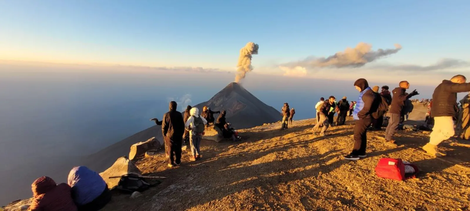
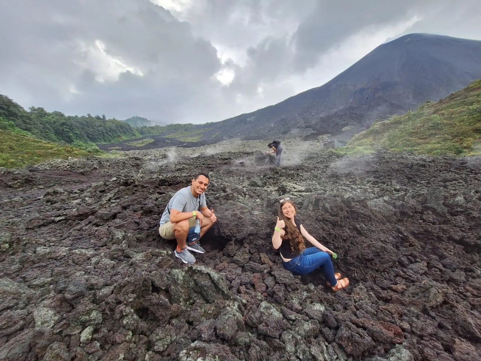
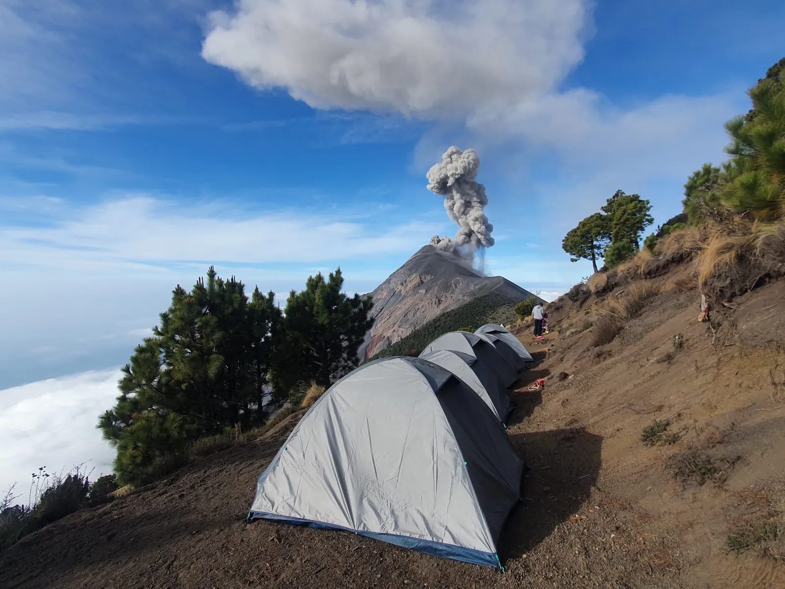
Acatenango overnight tours from Antigua with a night at camps that face Fuego’s crater across the saddle.
Colonial records and the eruption of 1974
Infobae says Fuego’s eruptions have been documented since 1524. The volcano sits about 16 to 18 km from Antigua, the colonial capital then called Santiago de los Caballeros. Infobae retells a story from that era in which friars tried to rename the volcano Santa Catarina in a ceremony to drive out its fire, until an explosion broke up the ritual and the name Volcán de Fuego stayed. Treat it as folklore.
The record grows firmer in the 18th century. Wikipedia dates a strong eruption to 27-30 August 1717, shortly before the San Miguel earthquake that damaged the capital.
The largest eruption of the 20th century ran from 10 to 23 October 1974. Pyroclastic flows destroyed the vegetation around the cone and farmers lost their crops; Infobae names San Pedro Yepocapa, Acatenango and Patulul among the places damaged.
3 June 2018: the eruption that buried San Miguel Los Lotes
Activity rose from about 6 a.m. on 3 June 2018, and around noon Fuego erupted with an ash column about 15 km high. Pyroclastic flows ran down the Las Lajas ravine on the southeastern flank, spilled over its banks and buried San Miguel Los Lotes and part of El Rodeo. Most of those killed lived in these communities. About 3,100 people were evacuated on the first day, a second eruption followed on 5 June, and CONRED estimated that about 1.7 million people were affected. Ash closed La Aurora airport in Guatemala City until the next day.
The official toll rose for months as remains were found and identified. CONRED counted 113 dead and 332 missing in early July 2018 and 190 dead and 238 missing by 10 October 2018. As reported by Emisoras Unidas on 5 August 2026, the count stands at 202 dead and at least 229 missing, roughly 200 confirmed dead and hundreds missing. Some local groups dispute the official figures and believe the true number is higher. Infobae and Wikipedia describe it as Guatemala’s deadliest eruption since 1902.
The flows struck villages on Fuego’s southeastern flank. They did not reach the Acatenango base camps, which sit on a different mountain north of Fuego.
Paroxysms in 2025
Fuego erupted strongly twice in 2025. On 9 and 10 March, CONRED evacuated nearby communities, ash spread up to about 65 km, the RN-14 road closed and schools in Alotenango, Escuintla, Siquinalá and San Pedro Yepocapa suspended classes; the volcano was back to its normal pattern by early 11 March. Reports of the number evacuated range from about 300 to about 1,000 people. Ascents of Acatenango were restricted during the eruption.
From 4 to 6 June 2025, an eruption of about 30 hours sent pyroclastic flows into the La Trinidad, Las Lajas, Ceniza and Seca ravines. CONRED declared an orange alert on 5 June and evacuated communities including Panimache I, in San Pedro Yepocapa, as a precaution.
The 50-hour eruption of August 2026
The most recent paroxysm began at about 8:30 a.m. on 3 August 2026 and peaked that night. AP reported lava fountains of roughly 300 m, and ash columns rose several kilometers. CONRED declared an institutional orange alert on 3 August, and red alerts followed in Escuintla, Sacatepéquez and Chimaltenango. About 1,700 people were evacuated, ash fell on about 29,000 people in 18 communities, 488 schools closed and the RN-14 road shut. No deaths or building damage were reported.
INSIVUMEH declared the eruption over at 1 p.m. on 5 August, after about 50 hours, and said the crater had changed shape, with part of the summit cone gone. The Acatenango park closed during the eruption and reopened on 7 August. CONRED’s October and November bulletins do not state an alert level.
Watching a volcano with this record
The camps on Acatenango sit about 3 km from Fuego’s summit across a deep saddle, away from the ravines on Fuego’s southern and western flanks that carried the 2018 and 2025 flows. The risk zone for walkers is closer in: INSIVUMEH’s bulletin of 7 November 2026 warned that ballistic rock can land more than 500 m around the crater and advised against staying on La Meseta, the ground between the two volcanoes. That is one reason climbing Fuego is banned; read the 2026 ban explained.
If you go to watch it, Brothers Expeditions’ overnight hike costs from US$115 per person on Viator, rated 4.8/5 from 510+ reviews, with a night camped on Acatenango facing Fuego (our review). The operator also sells an extra hike toward Fuego, which is banned under current rules, so do not book that part. Bookings are final, the park fee is extra, and you climb about 1,500 m. Check today’s INSIVUMEH bulletin and your operator’s latest notice before you go.
Frequently asked questions
When did Fuego last erupt?
It is erupting now. The Smithsonian Global Volcanism Program lists the current eruption as continuing since 4 January 2002, and INSIVUMEH’s bulletin of 12 November 2026 logged 3 to 6 explosions an hour. The last large paroxysm ran from 3 to 5 August 2026.
How many people died in the 2018 eruption?
CONRED’s figures, as reported by Emisoras Unidas on 5 August 2026, count 202 dead and at least 229 missing. Earlier counts were lower as remains were still being identified, and some local groups dispute the official toll.
How often does Fuego erupt?
Several times an hour on a typical day. The Smithsonian weekly report for 29 October to 4 November 2026 recorded 1 to 9 explosions an hour. Larger paroxysms are rarer: there were two in 2025 and one in August 2026.
Did the 2018 eruption affect the Acatenango hike?
The pyroclastic flows hit villages on Fuego’s southeastern flank, not the Acatenango base camps, which sit on another mountain to the north. Access to Acatenango is still restricted during strong eruptions, as in March 2025 and August 2026.
What was the August 2026 eruption?
A paroxysm of about 50 hours from 3 to 5 August 2026, with lava fountains of roughly 300 m reported by AP and about 1,700 people evacuated. No deaths were reported, and the Acatenango park reopened on 7 August.
Pick Your Night Facing Fuego
The A-frame cabin overnight is rated 4.5 from 1,040+ reviews on GetYourGuide, with free cancellation up to 24 hours before. Check Fuego's latest activity and the park status the day before you go.
Check Dates & Tour Options